
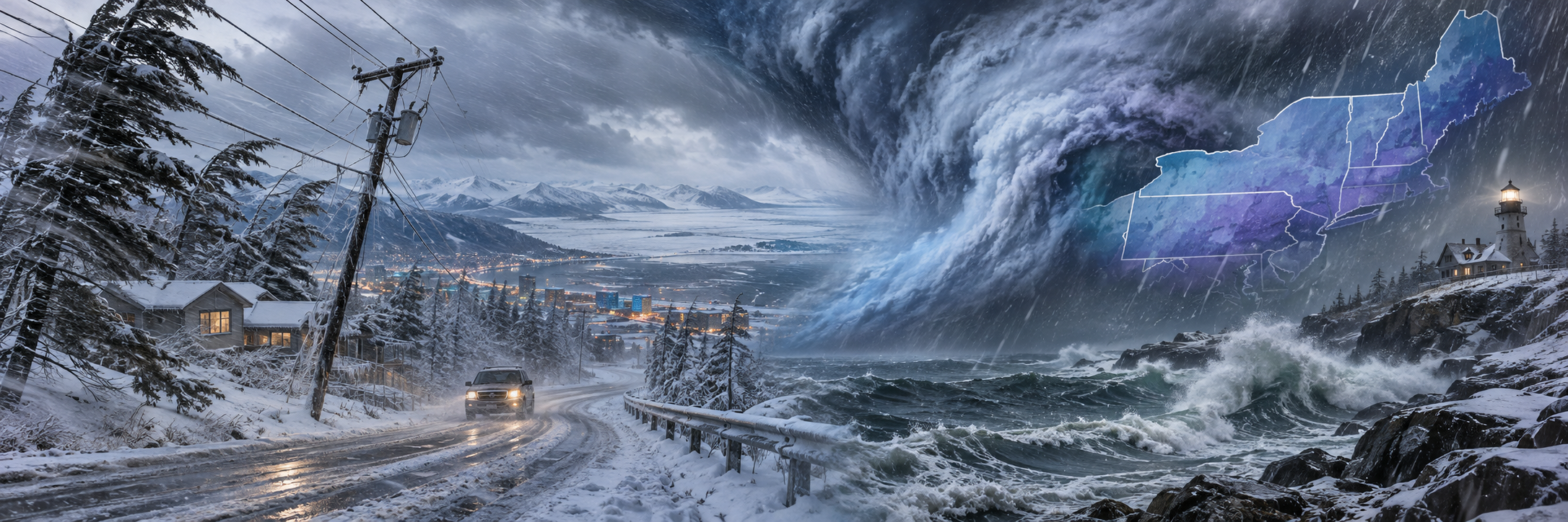
A winter storm warning is in effect Monday for southeast Alaska, where up to 12 inches of snow and gusts near 60 mph are expected along the upper Haines Highway. The National Weather Service office in Juneau upgraded an earlier watch to a warning Monday morning, Men's Journal reported.
The same storm is bringing snow, ice, and strong winds to the Anchorage area through Tuesday. Meanwhile, forecasters are tracking a separate storm that could bring rain, wind, and the season's first snow to parts of the Northeast late this week.
Southeast Alaska: The Warning Zone
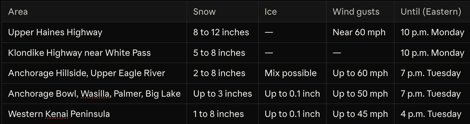
The warning covers the upper elevations of the Haines Highway near the Canadian border, where 8 to 12 inches of snow are possible from 7 a.m. to 10 p.m. Eastern Monday, according to Autoblog. The Klondike Highway near White Pass is under a lesser advisory for 5 to 8 inches.
Forecasters said snow levels would rise from about 500 feet to 2,000 feet by Monday evening. The NWS warned that travel could be difficult and urged drivers to carry a flashlight, food, and water.
Anchorage and the Kenai Peninsula
NWS Anchorage has winter weather advisories in effect from Monday afternoon into Tuesday. Snow is expected to turn to freezing rain overnight, making both the Monday evening and Tuesday morning commutes hazardous.
The strongest winds could damage trees and power lines on the southern Anchorage Hillside. A separate system is expected to bring up to 3 inches of snow and gusts to 50 mph to Alaska's Arctic Coast from Tuesday into Wednesday.
The Northeast: A Possible Nor'easter
The Northeast's storm is still days away and less certain. A coastal storm could develop Thursday through Saturday, November 12 to 14, bringing rain, gusty winds, and possible snow to Pennsylvania, New York, and New England, Rolling Out reported, citing the NWS.
The NWS has not forecast a major regional snowstorm. Accumulating snow is most likely in the higher elevations of New England and the interior Northeast, while snow near the I-95 corridor is unlikely to stick, according to the FOX Forecast Center. Eastern Pennsylvania could see 2 to 3 inches of rain.
Forecast models still disagree on the storm's track. A more southerly track could pull in colder air and raise snow chances, while a track closer to the coast would favor rain. Colder-than-average temperatures are expected behind the storm.
Staying Safe on the Roads
In Alaska, bridges and overpasses are expected to ice over first. They can look merely wet while the surface is already glazed.
Check conditions before you go. Alaska road updates are at 511.alaska.gov or by calling 511.
Pack an emergency kit. Keep a flashlight, food, and water in your vehicle, as the NWS advises.
Clear all ice. Scrape windshields, mirrors, and lights, and clear the front camera and grille sensors, since ice can switch off driver-assist features.
Watch for wind. Gusts of 50 to 60 mph can push trucks, vans, and trailers toward the shoulder.
Stay away from downed lines. Treat any fallen power line as live. If one touches your car, stay inside until crews arrive.
In the Northeast, watch for updated forecasts before travel planned for Thursday or Friday, as the storm's track is still uncertain.